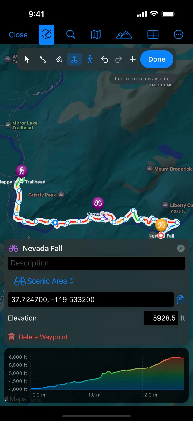

Waypoints
Every file’s waypoints show on the map as pins, with their symbols; click one for its name. In the tracks list they are listed under Waypoints, where the eye hides them all and a click centres the map on one.
Adding and changing waypoints needs GPX Explore Pro.
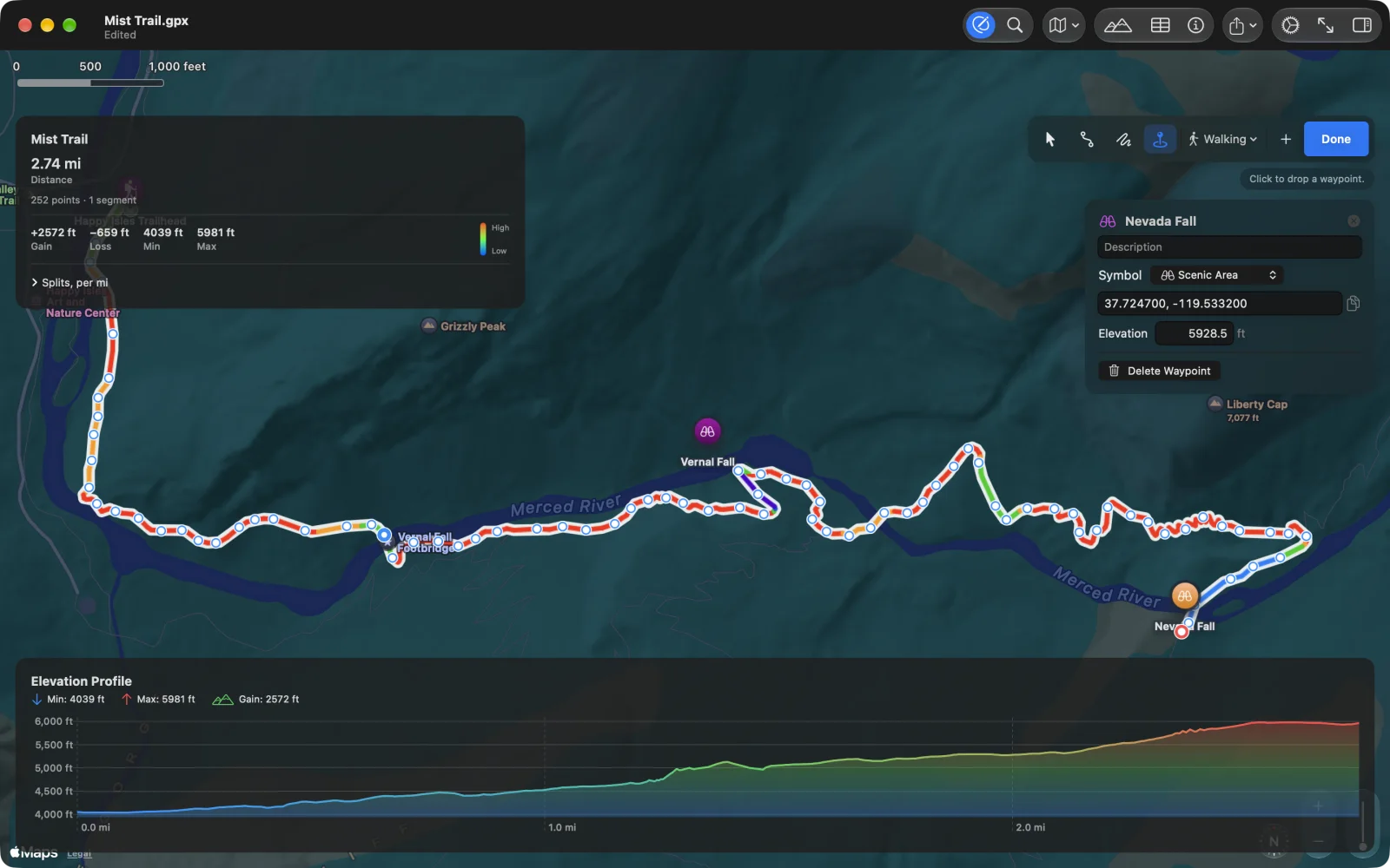
Add a waypoint
Section titled “Add a waypoint”- Choose the Waypoint tool (⌃⌘4) and click or tap the map.
- Right-click the map on the Mac, or long-press it on iPhone and iPad, and choose Add Waypoint Here.
- On the Mac, Track ▸ Go to Coordinates… (⇧⌘L), type a latitude and longitude and choose Add a waypoint.
A new waypoint is selected so you can name it, and its elevation is looked up from the terrain model.
Edit a waypoint
Section titled “Edit a waypoint”Select a waypoint (in edit mode, with Select and Move or the Waypoint tool). Its panel has:
- The name at the top, and a Description.
- Symbol: Pin, Flag, Summit, Campground, Drinking Water, Parking Area, Information, Danger Area, Restaurant, Scenic Area, Trail Head, Bike Trail, Restroom, Lodging, Photo, Bridge or Swimming Area. These are the GPX symbol names Garmin and other devices use. A file’s own symbol that is not on the list is kept.
- Coordinates: type new ones (decimal, or degrees, minutes and seconds) and press Return; the button beside them copies them.
- Elevation, in your units; clear it to remove it.
- Delete Waypoint.
Drag a waypoint to move it; its elevation is looked up again for the new place.