

Units, map styles and labels
Units and map styles
Section titled “Units and map styles”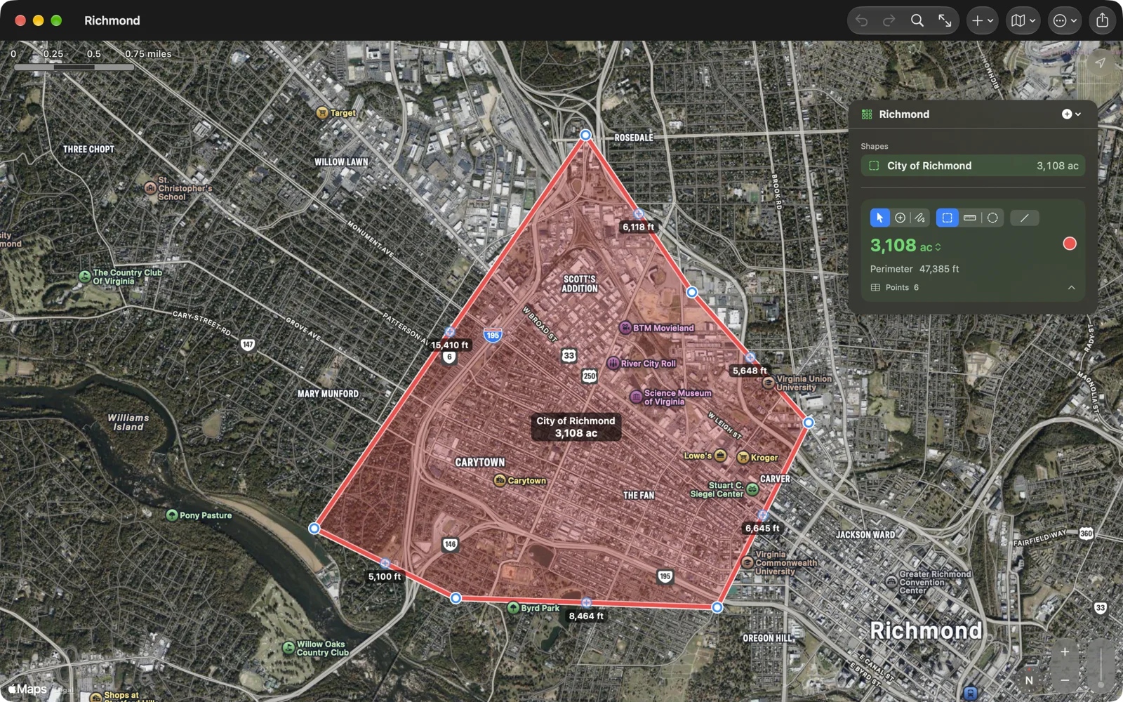
Units belong to the document. Change them on the number itself, or with View › Area Unit and View › Distance Unit on the Mac. Settings › New Documents sets the units for new documents; out of the box they follow your region (square meters and meters, or acres and feet).
- Area: Acres, Ares, Hectares, Square Feet, Square Yards, Square Meters, Square Miles, Square Kilometers, Tsubo (坪, 400/121 m²).
- Distance: Kilometers, Miles, Meters, Feet, Nautical Miles, Yards.
Perimeters, sides, legs and radii use the distance unit.
Map styles: Standard, Muted, Satellite, Hybrid (the default), Satellite 3D and Hybrid 3D. Choose from the map button in the toolbar or the iPhone map controls, View › Map Style on the Mac (⌥⌘1 to ⌥⌘6), or Settings. The style applies to every document.
Labels and side lengths
Section titled “Labels and side lengths”Two settings in Settings › Map, both off by default, write numbers on the map:
- Show Shape Names and Values labels each shape with its name and number, at an area’s middle, halfway along a distance, or at a circle’s centre.
- Show Side Lengths labels each side of the selected shape with its length. For a shape drawn along roads, a side is the whole leg between two points you tapped.