

GPX Explore
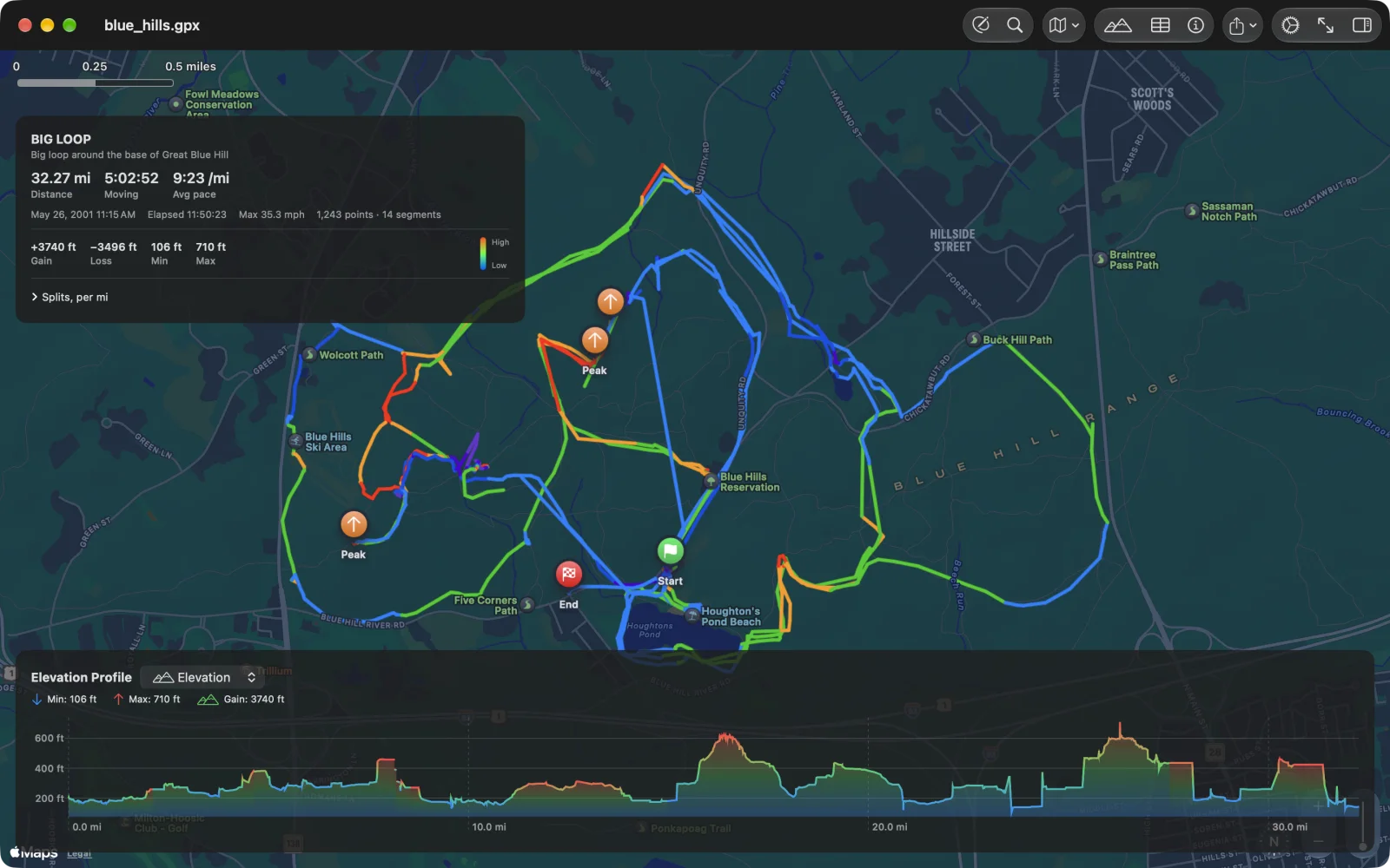
GPX Explore opens any GPX file and shows it on a map: the track coloured by grade, the route card with distance, moving time, pace and climb, the splits, and a chart of elevation, heart rate, power, cadence, speed or temperature under the map. Since version 2.0 it is also an editor: draw new tracks that follow paths and roads, fix recordings point by point, look up elevation, plan times and save plain GPX. It runs on Mac, iPhone and iPad.
Viewing is free. Drawing and editing come with GPX Explore Pro, one purchase in the app.
Your first file in a minute
Section titled “Your first file in a minute”-
Open a GPX file. Double-click it in Finder, or choose Open a GPX File… in the Mac’s welcome window. On iPhone and iPad, tap it in Files, Mail or Messages and choose GPX Explore, or browse to it in the app. No file handy? On the Mac, choose Open the Sample Run.
-
Read the card. The route card at the top left has the distance, the moving time and the average pace or speed, the climb, and the splits behind Splits. On iPhone it is a one-line strip; tap it for the whole card.
-
Scrub the chart. Move the pointer or a finger along the chart under the map and a marker follows on the track. The picker beside the chart’s title switches to heart rate, power and whatever else the file recorded.
-
Fit and switch. ⌘0 or Fit to View brings the whole track back; the Map Style menu switches between standard, satellite and hybrid.
-
Edit, if you like. Click Edit (⌥⌘E on the Mac) to draw and fix tracks. Every change can be undone, and the file saves itself.