

Measure along roads and trails
The routing menu beside the kind picker (for areas and distances) chooses how each new tap is reached: Straight Lines, Follow Paths (Walking), Follow Roads (Cycling) or Follow Roads (Driving).
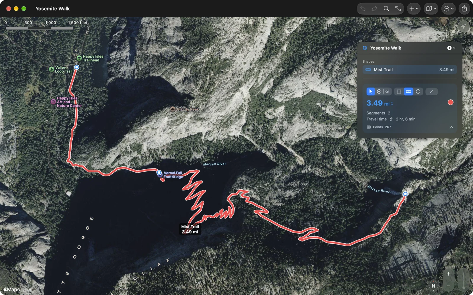
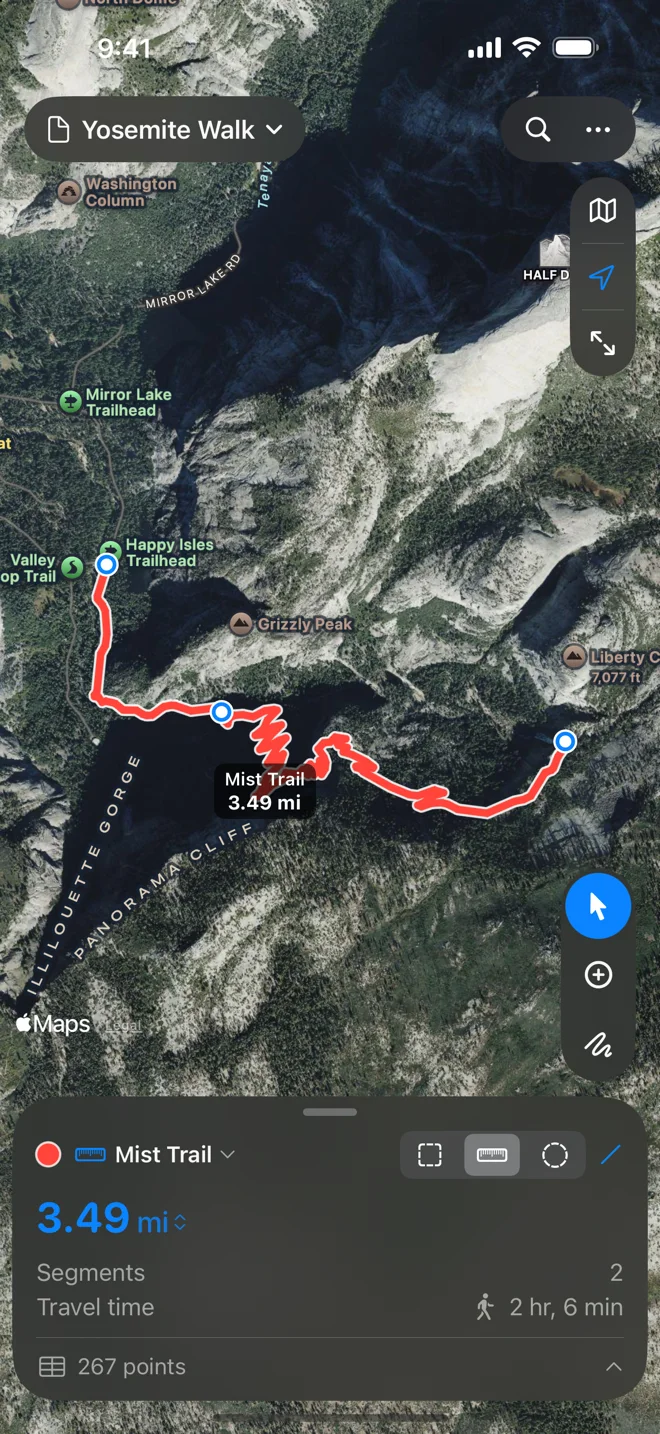
With a routing mode on, each tap asks Apple Maps for directions from the shape’s last point. The leg is drawn dashed while “Finding a route…” shows, then becomes part of the shape. Keep tapping while it works; your taps are placed in order. A tap beside the trail lands on the trail.
Only the points you tapped get pins. The points Apple Maps filled in between appear in the points table as small grey dots.
- The mode is per leg. Change it mid-shape and the next leg uses the new mode; earlier legs keep theirs. A distance remembers the last mode you used. An area starts with straight lines each time, because fields and lots are measured corner to corner.
- Travel time. A shape with routed legs shows Travel time: Apple Maps’ estimate for those legs.
- Dragging a point you tapped finds the legs on either side again, and the point settles onto the path. Typing its coordinates in the points table also finds the legs again but leaves the point exactly where you typed it.
- Deleting a point you tapped joins the legs on either side. If both followed roads in the same mode, the joined leg is routed again; otherwise it is straight.
- Midpoints appear only on straight edges. To reshape a leg that follows a road, drag one of its ends.
- Areas with a routed leg close along the roads too, from the last tap back to the first. If the way back would only retrace the way out, the area closes with a straight line and says so. A routed distance changed to an area closes along the roads as well.
Legs over 500 km, and legs with no route, are drawn straight.