
On iPhone and iPad
GPX Explore runs on iOS and iPadOS 17.6 and later. It is the same app as on the Mac, with the same editor and the same files; GPX Explore Pro bought on one unlocks the others.
The app opens to a document browser: tap a file to open it, or Draw a New Track for an empty one. Files you open from another app are copied into GPX Explore’s own folder and edited there; see Open GPX files. Documents save themselves.
On iPhone
Section titled “On iPhone”The map is the largest thing on the screen:
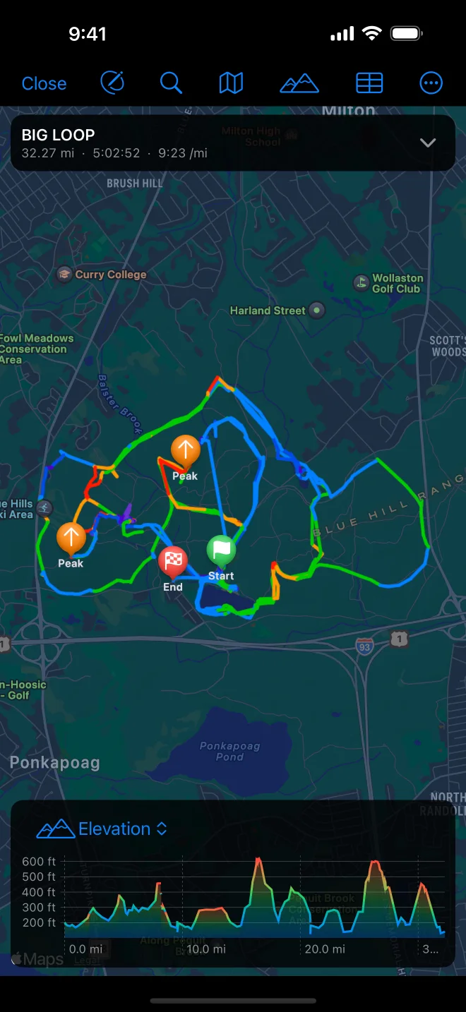
- The toolbar shows buttons only; the file’s name is on the card.
- The route card is a one-line strip with the distance, time and pace. Tap it for the full card and the splits; the arrow folds it again.
- The chart is shorter, and scrubs with a finger.
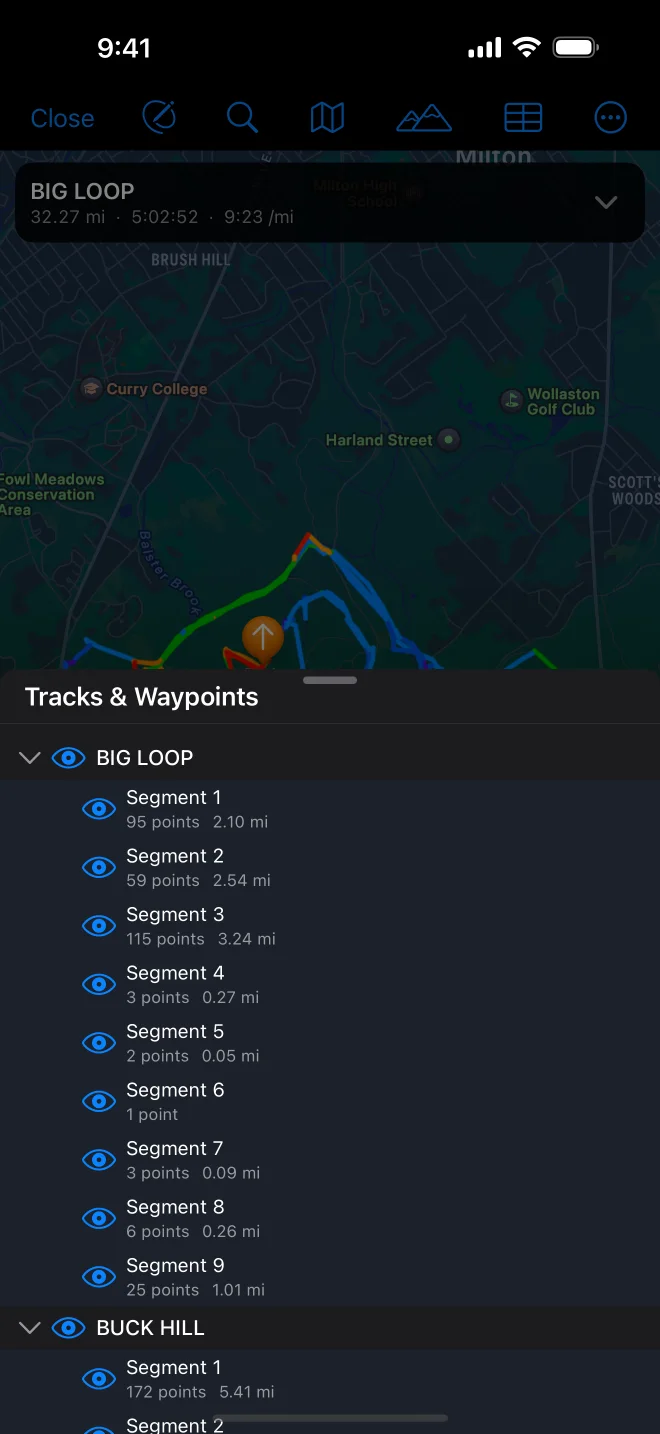
- The tracks list and the Points table open as sheets you can drag up or down.
- While editing, the edit bar sits at the top, the card steps aside, and the selection’s panel sits at the bottom. A track’s tools are behind Track Tools; a point’s panel shows its values on one line.
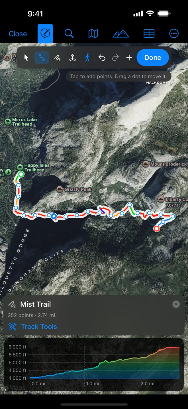
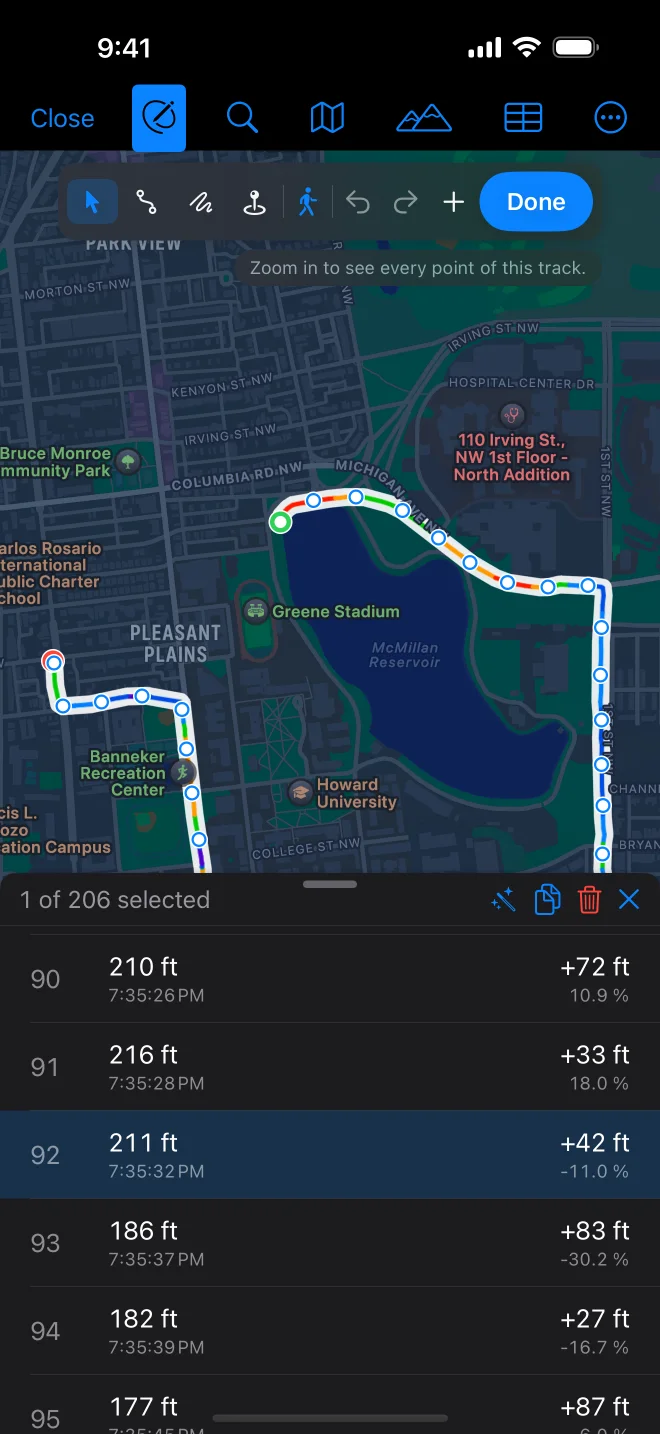
- Tap with the Draw tool to add a point; tap a dot to select it; drag a dot to move it, with a loupe under your finger.
- Tap the + between two dots to add a point there.
- Long-press the map or a point for Delete Point, the splits, Select Range to Here, Add Waypoint Here, Start New Track Here and Copy Coordinates.
- Freehand: drag a finger or Apple Pencil across the map.
- Double-tap zooms without adding a point.
- Undo and redo are the arrows in the edit bar.
To select a range, tap a point, then Range… in its panel and tap the end; or long-press the end and choose Select Range to Here.
On iPad
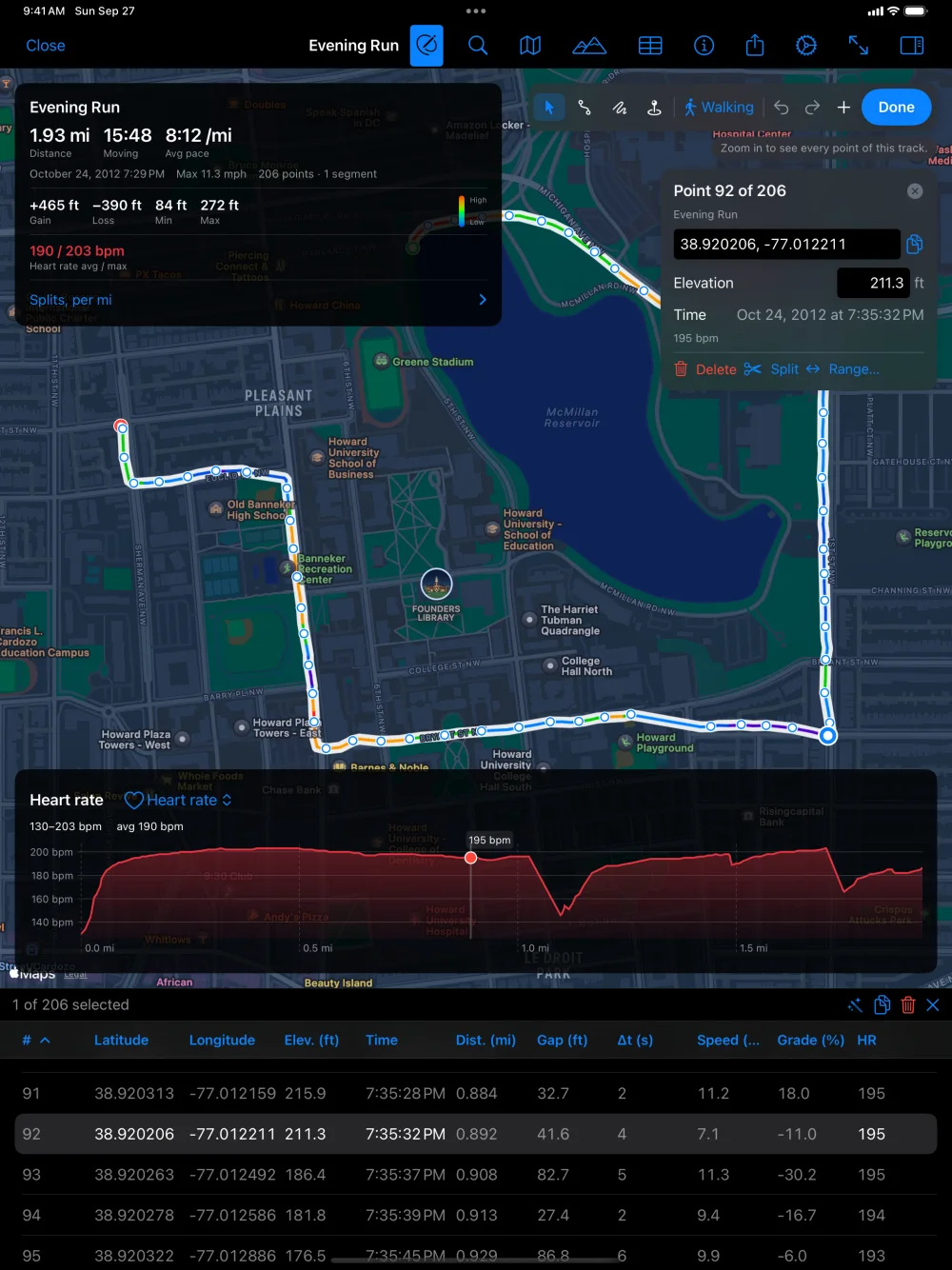
Section titled “On iPad”The iPad works like the Mac: the file’s name is in the toolbar (tap it for Rename and the file’s other commands), the tracks list opens beside the map, the edit bar and the selection’s panel float on the map with every field and the grid of track tools, and the Points table opens under the map. With a keyboard, the Mac’s toolbar shortcuts work too: ⌥⌘E to edit, ⌘E for the chart, ⌘0 to fit.